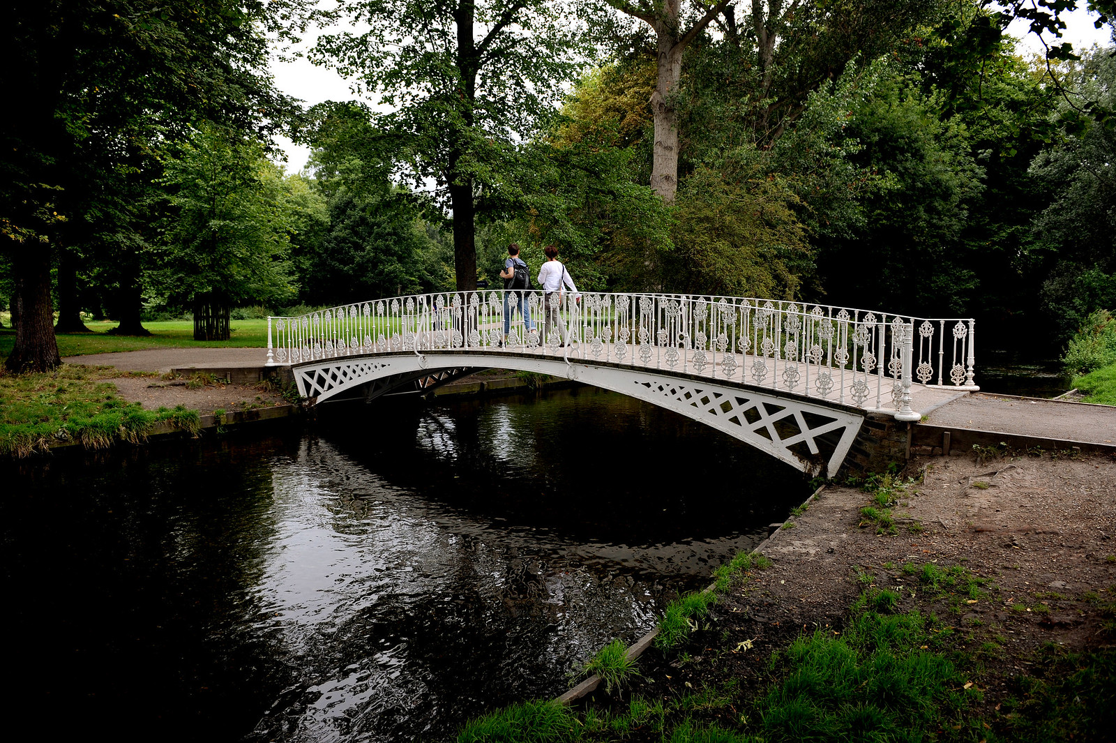
The 20km (14 mile) Wandle Trail follows the route of the River Wandle from Croydon to the Thames at Wandsworth. It allows you to enjoy the heritage, flora and fauna of this typical chalk stream in the heart of some of south London’s most industrialised landscape.
There are both walking and cycling routes, which coincide for much of the way but differ in places. Part of the trail is National Cycle Network Route 20.
Leaflet and map
The Wandle Trail partners (the London Boroughs of Sutton, Merton and Wandsworth, Groundwork Merton and Sustrans) have published this map leaflet. It also shows links to other cycle routes and public transport.
Wandle Trail Art Programme
The Wandle Trail Art Programme is providing numbered gateways, viewing platforms and distinctive waymarkers. A travelling ‘waste wall’ will be the focus of community rubbish collection events.
Wheelchair access
In places, the ground is uneven, making the trail difficult for wheelchair users, but improvement work is in progress. The leaflet describes alternative routes for wheelchair users and people with limited mobility, where necessary.
See also